All posts by Scott Hunter

Scott has been living in the Grand Coulee Dam area since 1988 and loving it.

Check out today’s big bull ride

A cowboy gets bucked off in last year's Cleatis Lacy memorial.
A cowboy gets bucked off in last year’s Cleatis Lacy memorial.

There’s some big bucks to be made today, Saturday, May 23. All you have to do is ride a few bulls.

It’s the Third Annual Cleatis Lacy Memorial Bull Ride at the Ridge Rider rodeo grounds in Delano. Action begins at 3 p.m.

This year, rodeo officials have added $3,000 to the prize money making the bull riding event attractive to some pretty good professional cowboys.

The event is named after Grand Coulee’s own Cleatis Lacy, a rodeo cowboy of the first degree. When he wasn’t competing, Lacy was one of the most popular volunteers, never turning down an opportunity to help out.

This year, rodeo fans will be able to pay tribute to Cleatis and another local cowboy, Bob Rowe, at the site of a memorial marker that has been erected across the arena from the main seating area.

The marker is a metal cutout showing Cleatis as a bulldogger. The companion marker is for Rowe, who had long been one of the cowboys that helped make the rodeo grounds what it is today. The markers are side by side, and a third marker honoring another local cowboy, Bob O’Neal, is being planned.

Glenn Shear designed the markers and then Joe Santistevan put his tool skills to work and created the cutouts.

Rodeo officials have added $1,000 to the purse for the wild horse race, one of the most popular events for the evening, and $100 has been added to the Junior Steer Riding event.

Wild horses, they just don't listen.
Wild horses, they just don’t listen.

Shane Marchand, Sev Carden and Deb Achord have all been active in developing the event.

And, by the way, if you’re into rodeo, this is your lucky day. Because when you get done watching the fun in Grand Coulee, you can head to the Coulee City Last Stand Rodeo about 30 miles at the other end of Banks Lake. Starts at 7 tonight.

It’s Colorama time in the Coulee!


Kids loving the Colorado Canival rides make the cover of The Star special section.
Kids loving the Colorado Canival rides make the cover of The Star special section. View the whole publication below.

As of Tuesday morning, there were 50 entries for the annual Colorama Parade, but 10 of those had just come in on Monday, said Peggy Nevsimal, director of the sponsoring Grand Coulee Dam Area Chamber of Commerce.

The parade is the Saturday sendoff to the whole lot of fun activities we call Colorama every May. The festival includes the Run the Dam early Saturday morning, the parade, the button drawing, arts and crafts and stuff in the park, the rodeo, the carnival, and the live entertainment in the beer garden at North Dam Park.

The final parade count will likely be closer to 60-65 entries.

That’s because the parade is one where you’re very likely to see someone you know who is in it to show pride in the community, or to advetise a great cause, or just for fun.

So when someone shows up the morning of the parade with a nice smile and application in hand, parade chair Tammy Norris is likely to say, “Oh, all right! You’re number 65, get in line.”

You can still be part of the big Colorama Parade, May 9.

You might spare some confusion if you stop by the Grand Coulee Dam Area Chamber of Commerce office or go online to grandcouleedam.org for your parade entry form if you want be part of the parade and dazzle your family and friends along the parade route.

You’ll see entries in eight different categories: Community entry, Organization/club, Business, School band, Classic car, Hot Rod, Equestrian, and Junior.

The parade begins at 11 a.m. Saturday, May 9, near the staging area on Spokane Way in front of the former Center Elementary School. The route, about a mile long, takes just over an hour to complete.

The route follows Federal Avenue to Midway Avenue (SR155), takes Midway south to the Four Corners intersection with SR 174.


Lake level held down for maintenance on dam

The boat launch at Crescent Bay on Lake Roosevelt is currently high and dry, but Spring Canyon and up to 11 of 22 launches in the Lake Roosevelt National Recreation Area still reach the water. Spring Canyon, the lowest reaching launch, goes down to elevation 1,222.

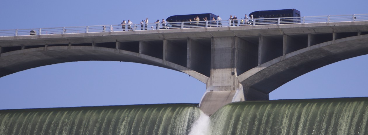
Lake Roosevelt is being held at a level about 47 feet below the full mark while maintnenace is completed on the drum gates that hold the water back when the lake is full.

The Bureau of Reclamation, which operates Grand Coulee Dam, reports the lake will likely remain below 1,255 feet above sea level until May 10.

The water forecast for the Columbia River drainage above Grand Coulee Dam, from April to August this year, is estimated to 82.5 percent of normal, so the maximum level allowed for flood control right now would actually be 1,283.3 feet, less than 7 feet below spilling over.

But such flood control elevations are the maximum elevations allowed to ensure enough room in the lake for the spring runoff. Actual elevations may be lower “based on power demand, unforeseen power emergencies, changes in weather events, maintenance on the dam, etc,” the bureau explains on its website.

Army Corps to lower water level at Rufus Woods April 11-12

Fishing on Lake Rufus Woods
Anglers ply the waters of Lake Rufus Woods, behind Chief Joseph Dam in this 2010 photo


SEATTLE – The U.S. Army Corps of Engineers is lowering the reservoir water level upstream of Chief Joseph Dam by 1.5-2.5 feet below normal pool this weekend, but the Seaton’s Grove boat launch will remain open.

Water managers expect that work scheduled for April 11-12, to prepare for a bank stabilization project, will lower Lake Rufus Woods from its normal low-pool level of 950 feet above sea level to a lower elevation between 947.5-948.5 feet.

The project will eventually address erosion problems by placing bank-stabilizing rock armor and native plantings along 700 feet of shoreline on the Columbia River’s northeastern bank downstream of Seaton’s Grove boat ramp.

To prepare the site for construction, the waterline is being lowered this weekend for an inspection of conditions, and to remove vegetation and other obstructions that could impact bank protection integrity.

Water levels are expected to return to normal April 13.

A Corps spokesman said he didn’t know when the actual construction work would take place or how long it would take.

When complete, the structure will provide protection against reservoir erosive forces, the Corps stated in a press release Friday.

The Corps said that throughout the planning process it coordinated with the Environmental Protection Agency, Bureau of Reclamation, Confederated Tribes of the Colville Reservation, Washington Department of Ecology, and U.S. Fish and Wildlife.