

Boaters need to be aware that Lake Roosevelt, and access to it, changes dramatically throughout the year, depending on many factors, to which the Bureau of Reclamation, which operates Grand Coulee Dam, responds.
Below is a list of the minimum elevations above sea level at which you can launch a boat at launches controlled by the National Park Service.
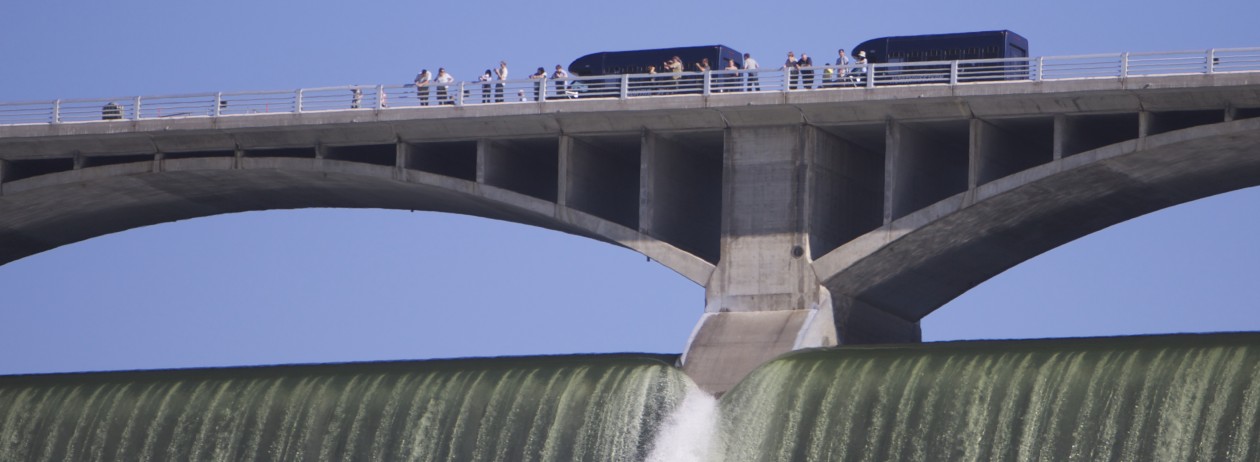
Know before you go and check the current level of the lake.
Read the column under “Forebay”. (The link is to a site maintained by the Army Corps of Engineers, which coordinates with the Bureau of Reclamation on operating the lake for flood control purposes.)
As you can see, the lowest level launch is Spring Canyon, just outside Grand Coulee, WA.
MINIMUM BOAT LAUNCH ELEVATIONS
Crescent Bay 1265′
Spring Canyon 1222′
Keller Ferry 1229′
Hansen Harbor 1253′
Jones Bay 1266′
Lincoln Mill 1245′
Hawk Creek 1281′
Seven Bays 1227′
Fort Spokane 1247′
Porcupine Bay 1243′
Hunters Camp 1230′
Gifford 1249′
Daisy 1265′
Bradbury Beach 1251′
Kettle Falls 1234′
Marcus Island 1281′
Evans 1280′
North Gorge 1280′
Snag Cove 1277′
French Rocks 1265′
Napoleon Bridge 1280′
China Bend 1277′
Watch out for sneaky water levels? Not really. We are completely disappointed by Corps of Engineers management (if you can call it that) of Lake Roosevelt. Marinas and Resorts have lost 2 months of income not to mention because first we cannot even access the lake, then there is no consideration of recreationall use of the lake, it is flooded for the month of July!!! Gee do you think maybe in August we could have some recreation with beaches and a reasonable water level?
We understand there are other reasons for water levels, but have enjoyed lake roosevelt for years, this will be our groups last if the water levels dont come down to a reasonable level and stay there, not to mention it has destroyed the fishing this summer.
I completely understand your feelings on this. It’s got to be disappointing, to say the least, to try to vacation where beaches are nearly gone because of a completely full lake. As a local, even I haven’t put my boat in LR yet this year.
The “Sneaky water level” reference, however, was in regard to the then-current condition of a low lake rising rapidly as the July 4 holiday approached.A correction: The Corps does not control Lake Roosevelt; the U.S. Bureau of Reclamation does. They get heavily weighted input from the Corps and from the Bonneville Power Administration, but the final word is with the USBR.
This brings up a recent distinction in personnel that may account in some part for the continued high water levels (which should start dropping this week). The last “power manager” at the USBR’s Grand Coulee Power Office was promoted last year to high post in Washington DC. For the last several years he actually argued on behalf of recreation interests to at least not fill the lake on the Fourth of July, which is a goal the BPA wants for better power production and also to assure court-mandated operation for “fish flushes” of salmon far, far downstream in August.The new manager, who has made most of his career at the Corps, just came on board at Grand Coulee in a truly extraordinary “water year” that had Grand Coulee holding as much water as possible in Lake Roosevelt and Banks Lake for flood control purposes.It may have been harder to argue for recreation interests this year in the face of the heightened importance of competing purposes (flood control and power production).
I hope the lake level goes down a little soon and that next year the river is not as much of a challenge to manage.
how about adding lake elevation to the page.
Hi Ty. About mid-post, there’s a link to a page that is updated hourly on the current lake level, which is termed “forbay elevation.” Give a click to “current level of the lake” in the post.