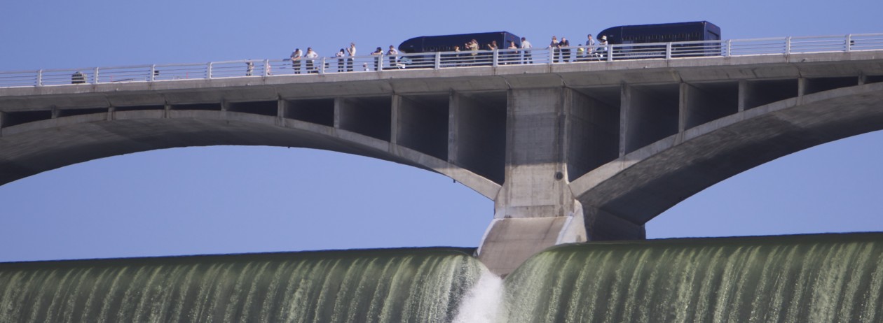
The Grand Coulee Dam was featured in two episodes of the popular show Bill Nye the Science Guy back in the 1990’s. You can watch them both by clicking here.
Category Archives: Astounding Facts
Stuff you’d never guess.
Martin Falls Aerial Footage
Geologist Bruce Bjornstad’s added a video of Martin Falls near Banks Lake to his series Ice Age Floodscapes. Locals may know the falls as the Devil’s Punchbowl.
Great new interactive website highlights the ice age floods’ effects on region
A visually stunning website from the Washington Department of Natural Resources explains how ice age floods helped shape the unique picturesque landscapes of our region.
https://wadnr.maps.arcgis.com/apps/Cascade/index.html?appid=84ea4016ce124bd9a546c5cbc58f9e29
Geologist gives guided hike
Geologist gives guided hike
by Jacob Wagner
Geologist Bruce Bjornstad came to Dry Falls-Sun Lakes State Park to give a guided tour of the Caribou Trail to a dog and about 10 human hikers both local, from the Seattle area, and as far away as New England last Saturday.
The approximately 90-minute guided hike started with Bjornstad showing maps of the area depicting what things were like during the Missoula Floods. He showed how a large ice dam used to be where the Grand Coulee Dam is now, and how that had diverted the Columbia River through the Grand Coulee, past Steamboat Rock, and so on. When the ice dam melted, the Columbia took on its current course.
Bjornstad, a licensed geologist/hydrogeologist who used to work for Hanford nuclear production complex in the Tri-Cities area, explained the timescale of the coulees being carved, explaining what a unique feature they are on the planet Earth, the closest thing similar being the landscapes of the planet Mars.
Hiking to huge potholes resembling craters above Deep Lake, Bjornstad explained that they were formed by whirlpools or eddies in the waters that had flooded the region, and simply dug the rocks out of the ground and sent them flying with the sheer force of the current.
“These are some of the best potholes in the world,” Bjornstad said. “There’s dozens of them up there. A lot of times you won’t see them until you’re right up next to them within a few feet when all of the sudden the ground will disappear. They can be hundreds of feet deep and hundreds of feet wide.”
Throughout the hike, Bjornstad was able to answer questions and explain geological features of the region.
A video series Bjornstad produces called Floodscapes is available to view on Youtube. The videos show stunning aerial footage shot with a drone of landscapes shaped by the Missoula Floods, including the Deep Lake Potholes.
Our latest print Visitors Guide is available now

Our latest print Visitors Guide for the Grand Coulee Dam Area is now available at many outlets in our area, and soon across the state of Washington.
Here’s an online version.


 \
\