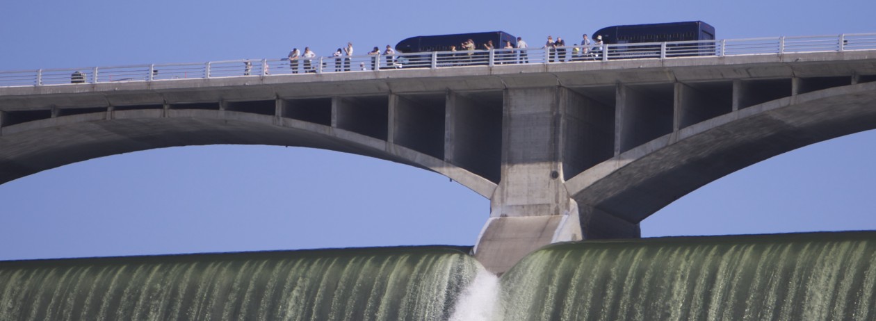
Boaters need to be aware that Lake Roosevelt, and access to it, changes dramatically throughout the year, depending on many factors, to which the Bureau of Reclamation, which operates Grand Coulee Dam, responds.
Below is a list of the minimum elevations above sea level at which you can launch a boat at launches controlled by the National Park Service.
Know before you go and check the current level of the lake. Read the column under “Forebay”. (The link is to a site maintained by the Army Corps of Engineers, which coordinates with the Bureau of Reclamation on operating the lake for flood control purposes.)
As you can see, the lowest level launch is Spring Canyon, just outside Grand Coulee, WA.
MINIMUM BOAT LAUNCH ELEVATIONS
Crescent Bay 1265′
Spring Canyon 1222′
Keller Ferry 1229′
Hansen Harbor 1253′
Jones Bay 1266′
Lincoln Mill 1245′
Hawk Creek 1281′
Seven Bays 1227′
Fort Spokane 1247′
Porcupine Bay 1243′
Hunters Camp 1230′
Gifford 1249′
Daisy 1265′
Bradbury Beach 1251′
Kettle Falls 1234′
Marcus Island 1281′
Evans 1280′
North Gorge 1280′
Snag Cove 1277′
French Rocks 1265′
Napoleon Bridge 1280′
China Bend 1277′
